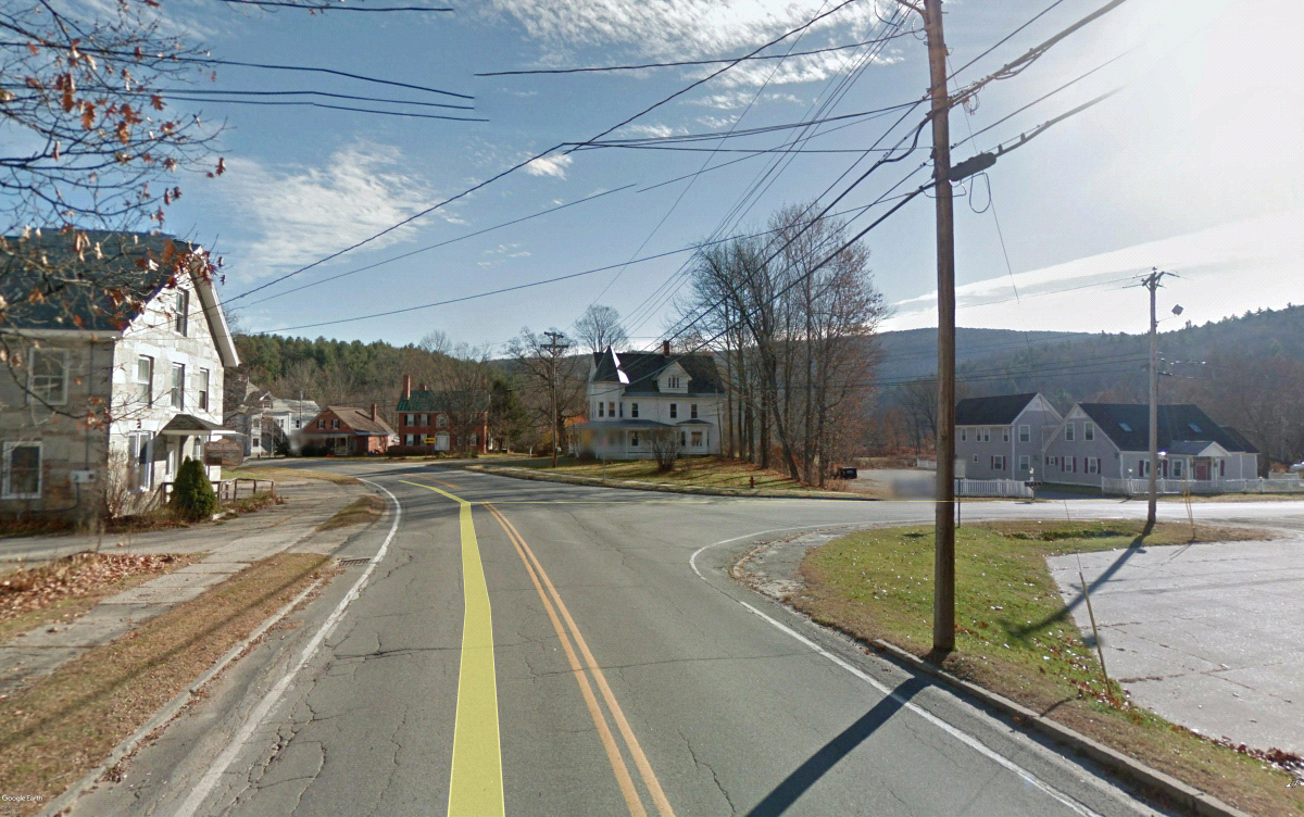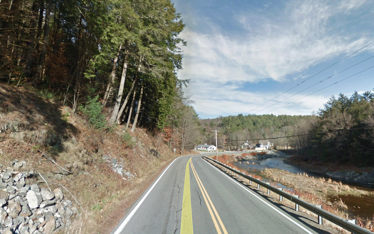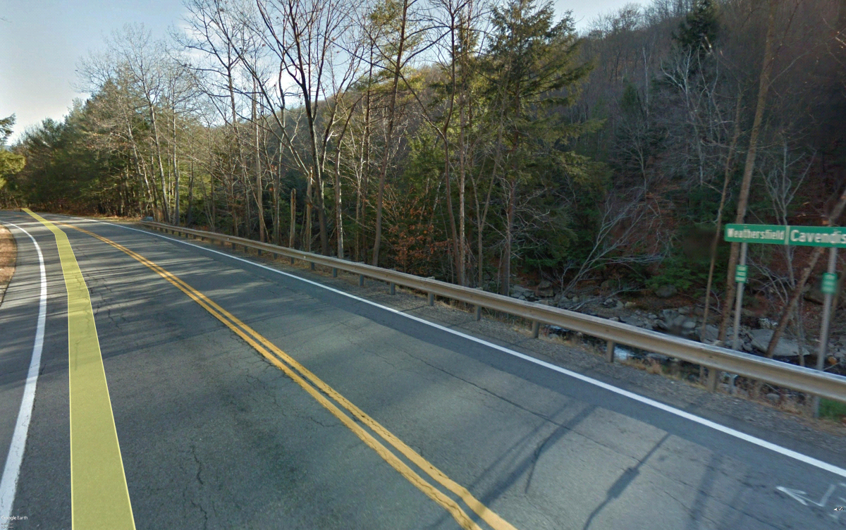
CAVENDISH-WEATHERSFIELD VT-131
ER STP 0146(14) Cavendish
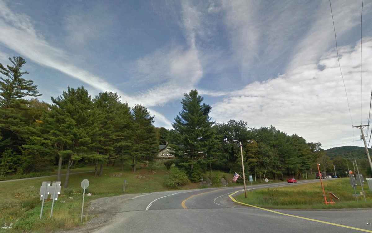
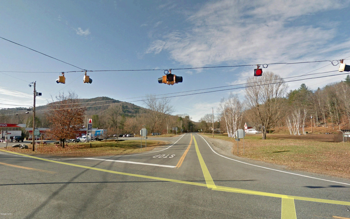
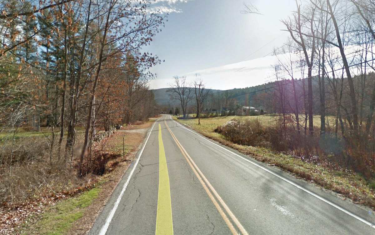
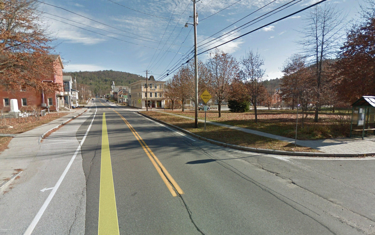
REHABILITATION OF VT131 IN CAVENDISH AND WEATHERSFIELD, BEGINNING AT THE VT103 INTERSECTION AND EXTENDING EASTERLY 8.974 MILES TO THE VT106 INTERSECTION. INCLUDES IMPROVEMENTS TO AREAS THAT SUSTAINED SUBSTANTIAL DAMAGE AS A RESULT OF TROPICAL STORM IRENE.
Project Description:
Work to be performed under this project includes coarse-milling, full depth reclamation (FDR) and paving of the existing highway, replacement of an existing box culvert, slope stabilization system, ledge removal, stone fill for river bank stabilization, pavement markings, guardrail, signs and other highway related items.
Project Timeline:
New drainage, slope stabilization (soil nail system), pre-cast box culvert installation, ledge removal and river bank restoration improvements will occur during the spring, summer and fall months of 2020. Coarse-milling, full depth reclamation (FDR), major roadway rehabilitation, grading and all other final paving will occur in 2021.
Box Culvert Installation:
The box culvert installation is located on VT Route 131 and approximately 300 feet west of Stone Way in the Town of Cavendish. This work entails the removal of an existing box culvert and the installation of a new 8 foot wide x 6 foot high x 59 foot long pre-cast concrete box culvert. This work will also require a segment of new sewerline. The existing sewer will be temporarily diverted and will be serviceable throughout the duration of construction. There will be a three day Tuesday-Thursday closure period of VT Route 131 to minimize disruption to traffic and to accelerate construction of the pre-cast box culvert. The time of the closure period will be determined at a later date. See detour information below.
Slope Stabilization System (Soil Nail):
The work begins at the intersection with Brook Road and VT Route 131 within the Town of Cavendish. The work extends westerly approximately 1/4 mile and is located on the northern side of VT Route 131. This work will entail removal of vegetation and ledge along the face of the slope, followed by installation of a series of soil nails which will be inserted approximately 20 feet into the existing ground surface. A wire mesh system will be installed following the installation of the soil nails. It is anticipated that this work zone will require one-way alternating traffic with a temporary traffic signal.
Riverbank Restoration:
This work begins at the Cavendish/Weathersfield town line and progresses easterly 300 feet along VT Route 131 and within area of the river bank of the Black River. This area was heavily damaged previously by Tropical Storm Irene. The intent of this work is to provide a long lasting treatment which will protect and stabilize the river bank during heavy and rain events. This work includes the installation of large rip rap, excavation and slope stabilization of the river bank between edge of VT 131 and Black River.
Detour Route for Box Culvert:
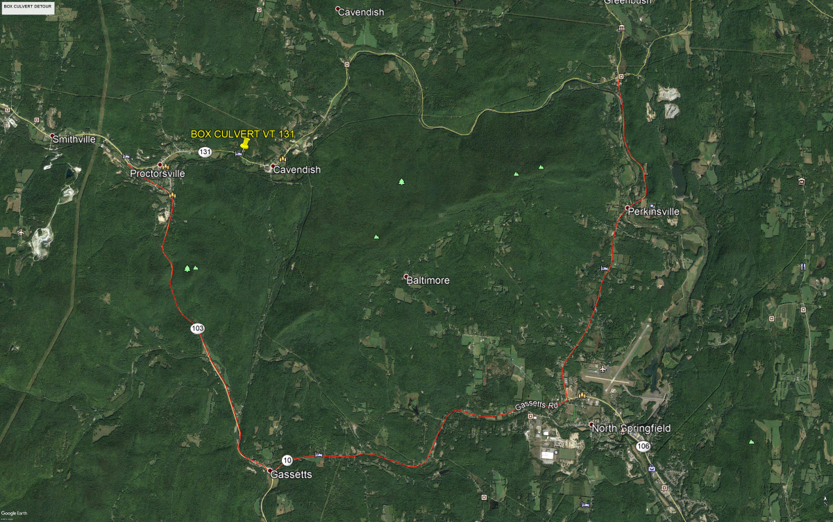
During the midweek closure period of VT 131, a regional detour route will be signed and delineated using VT103, VT 10 and VT 106 with a total length of 14.1 miles.
From the West:
From VT 103 & VT 131 eastbound traffic will head south on VT 103 for approximately 4.9 miles. Take a left hand turn onto VT 10. Continue to drive approximately 4.4 miles eastbound on VT 10. In North Springfield, take a left hand turn onto VT 106. Drive northbound on VT 106 for approximately 4.7 miles to the intersection of VT 131 & VT 106.
From the East:
From VT Route 131 & VT Route 106, westbound traffic will head south on VT 106 for approximately 4.7 miles. Take a right hand turn onto VT 10. Continue to drive 4.4 miles westbound on VT 10. Take a right hand turn onto VT 103. Drive north on VT 103 for approximately 4.9 miles to the intersection of VT 103 & VT 131.
Contact Information
**Please note: Contractors are to direct all inquiries to Contract Administration during project advertisement.
Public Information Consultant
Natalie Boyle
(802) 855-3893
nboyle@eivtech.com
.jpg)
